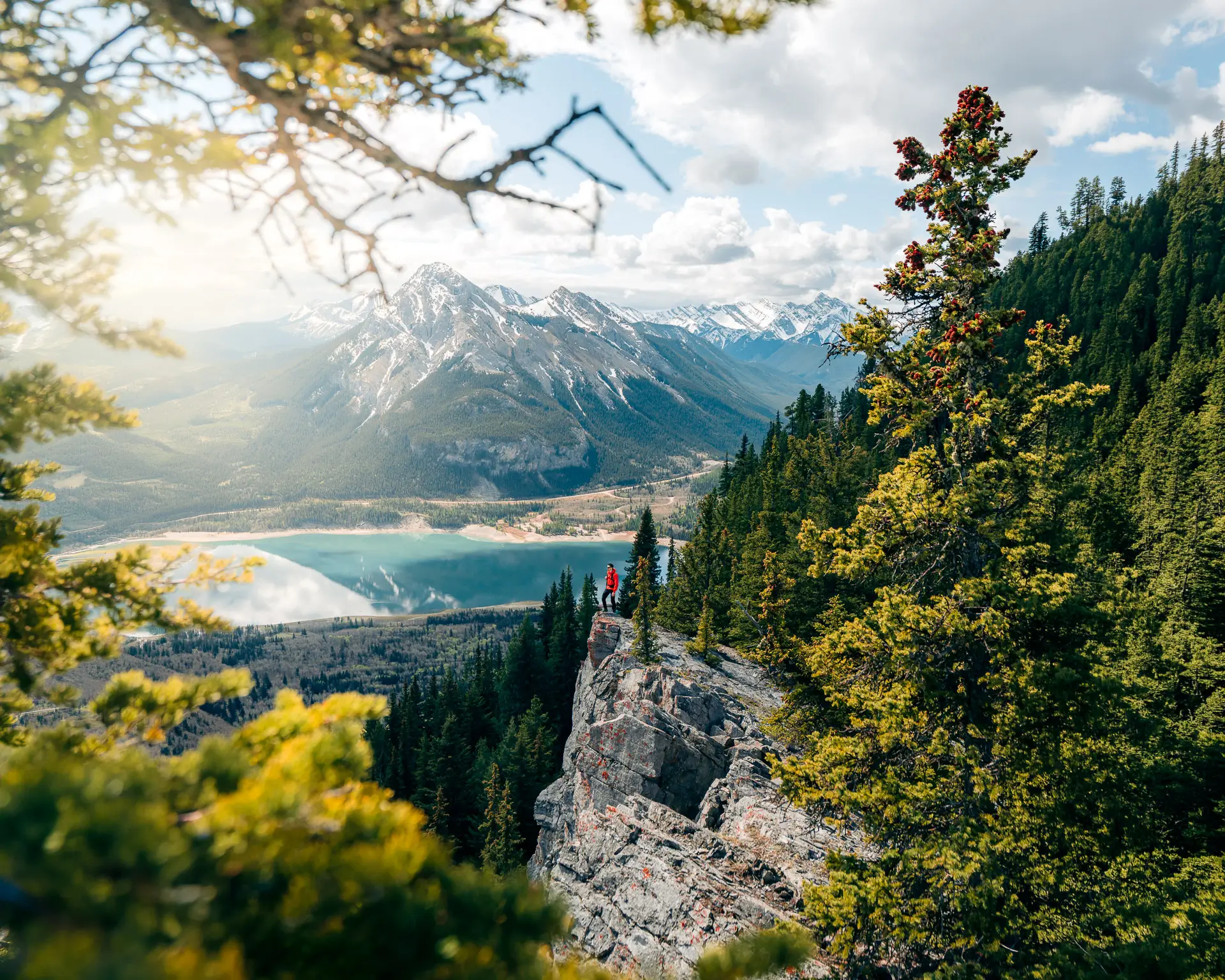
Kananaskis Country is full of hikes that get all the attention, and a handful of them show up on every "best hikes near Calgary" list you'll ever read. Jumpingpound Summit Trail almost never does, and after finally standing on the summit, I think it deserves way more love.
This is the kind of hike that gives you a true 360-degree Rockies view for a relatively short, moderate climb, and yet I rarely hear anyone talk about it. That combination of big payoff and small crowds is exactly why it earned its own guide.
I'll be honest about how our hike went too, because it says a lot about timing this one right. Madi and I actually tried Jumpingpound a couple weekends before we finished it. We turned around partway up because there was still too much snow higher on the mountain and it didn't feel worth pushing. We came back the following weekend hoping conditions had improved, and they had. The lower half of the trail was mostly dry, but there was still ankle-deep snow near the summit, so it felt like spring hiking and winter hiking in the same afternoon. That failed first attempt is a big part of why I want this guide to be genuinely useful, especially if you're planning a spring hike near Calgary.
Here's everything you need to know before you go.
📍 Location: Kananaskis, Alberta
🚙 Drive: 1.5 hours from Calgary
🥾 Distance: 6.8km roundtrip (out & back)
📈 Elevation Gain: 415 metres
⏱️ Completion Time: 2-3 hours
🥵 Difficulty Level: Moderate
🅿️ Parking: Powderface Trail Pullout
🎟️ Pass Required: Kananaskis Conservation Pass
🐶 Dog Friendly: Yes
🌄 Best Time to Visit: Spring through Fall (access road closed Dec 1–May 15)
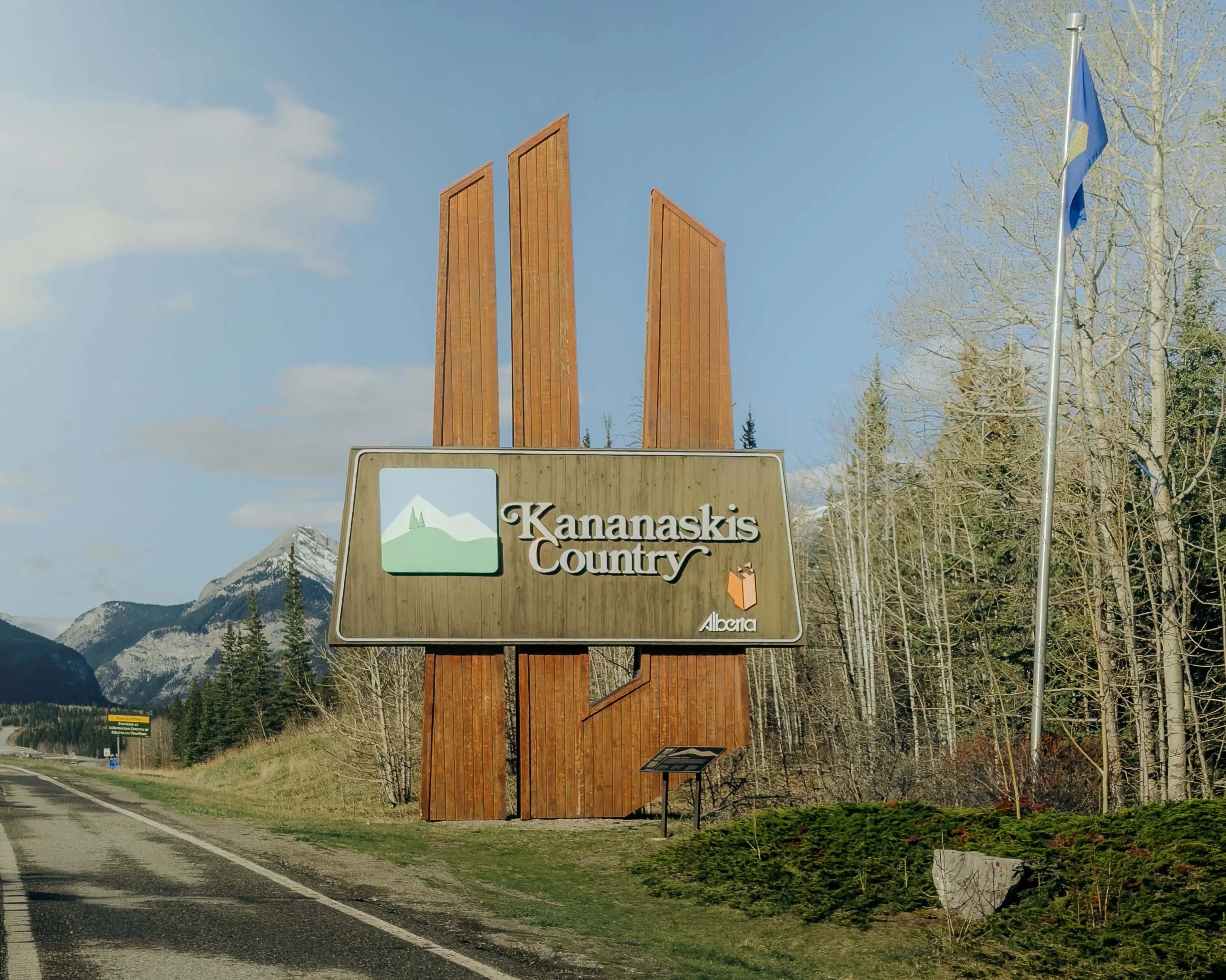
Jumpingpound Summit Trail sits in Kananaskis Country, in the front ranges of the Canadian Rockies just west of Calgary. It climbs to the top of Jumpingpound Mountain, right where the foothills give way to the mountains, which is part of what makes the views up top so good. You get rolling prairies on one side and a wall of Rocky Mountain peaks on the other.
It's one of the closer real summit hikes to the city, which is a big part of its appeal. You can leave Calgary in the morning and be back by mid-afternoon without a long drive or an overnight.

The Jumpingpound Summit Trailhead sits right on the Powderface Trail, a gravel road that winds through this part of Kananaskis. The trail is signed on the west side of the road, and from there you cross a bridge over Jumpingpound Creek and start climbing switchbacks up through the forest. (Parking details are below, under Parking and the Kananaskis Conservation Pass.)
From Calgary it's about a 1.5-hour drive, and you can reach it from either end of the Powderface Trail. The northern approach is Highway 1 west to the Sibbald Creek Trail (Highway 68), south and west for roughly 20 km, then onto the Powderface Trail for another 15 to 18 km. The southern approach comes through Bragg Creek on Highway 66, then north onto the Powderface Trail. Both take about the same time.
A couple of things worth knowing before you go. The Powderface Trail is a narrow, bumpy gravel road, so keep your speed down and give yourself extra time, and you lose cell reception about 20 to 30 minutes out, so download your map offline rather than counting on signal at the trailhead. Bragg Creek is your last real stop for gas and a washroom.
One important timing note: the Powderface Trail is closed every year from December 1 to May 15. You physically can't drive to this trailhead in winter or early spring, so late spring, once the road opens, is realistically the earliest you can hike it.

I'd call Jumpingpound Summit a moderate hike, and I think that rating is fair. It's a steady uphill climb through forest with switchbacks, and while it's not technical or a scramble, you're gaining 415 metres over a fairly short distance, so your legs will feel it.
Most hikers finish the round trip in 2 to 3 hours. We took a little longer, closer to 3 to 4 hours, mostly because we stopped for lunch and shot some content along the way. If you're reasonably active, this is a very doable half-day hike and a good option if you're getting back into hiking season without wanting anything too punishing.
The one thing to be ready for is wind. The climb itself is sheltered in the trees, but once you break out onto the ridge and summit it can get genuinely gusty, so it feels more exposed up top than the climb suggests. That's a comfort thing more than a danger thing, but it's the reason I'd pack a windproof layer even on a warm day.

The realistic window for this hike is late spring through fall, and a lot of that comes down to the access road opening on May 15.
Late spring is quiet and the lower trail melts out first, but expect lingering snow near the summit (more on that below). Summer is prime, with wildflowers through the alpine meadows and long daylight. Fall is beautiful too, with golden colour lower down and the odd early dusting of snow up high that makes the peaks pop.
If you want the best odds of a dry, comfortable summit, mid-summer through early fall is your safest bet. If you'd rather trade a bit of snow for fewer people, late spring is a great shoulder-season option and one of the better spring hikes near Calgary for exactly that reason. If you're building out a spring hiking list, Prairie View Trail is another great pick in the same window, with its own take on the "less snow, big payoff" spring formula.

The hike starts in dense forest and climbs at a steady pace on switchbacks with a fair number of blind corners. It's a pretty, peaceful walk through the trees, but it's also a known mountain biking descent, so stay aware and be ready to step aside if you hear one coming around a corner.
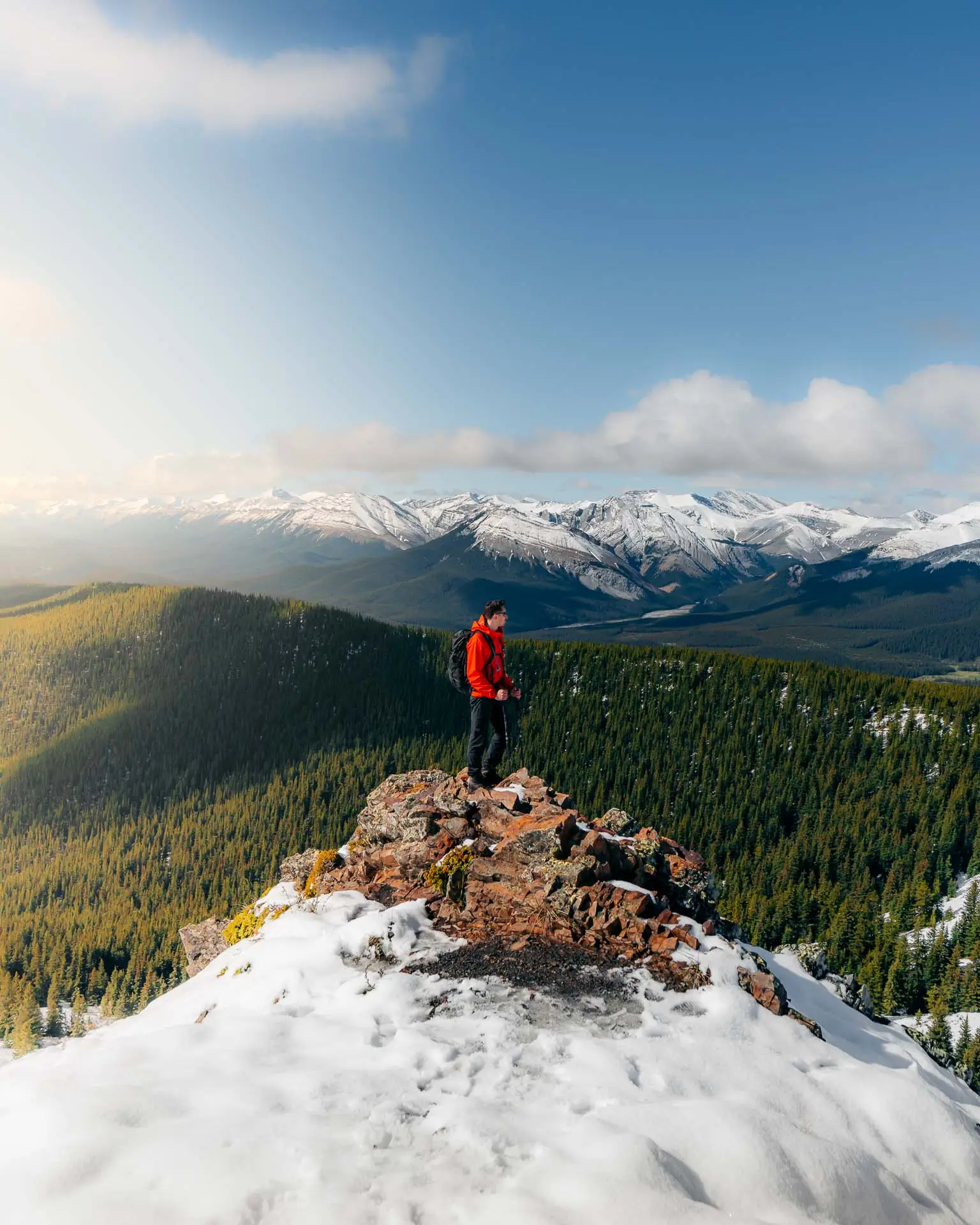
Once you climb out of the treeline, the whole hike changes. The views open up fast, and the last stretch to the summit rewards you with a full 360-degree panorama. You get the Fisher Range, Moose Mountain off to the east, the Bow Valley, and on a clear day you can even pick out the Calgary skyline in the distance.
For me, the ridge and summit were easily the highlight. There were so many different perspectives of the surrounding mountains that the payoff at the top was way better than I expected for a hike this short. It's a great spot to sit, eat lunch, and take it all in before heading back down the way you came.
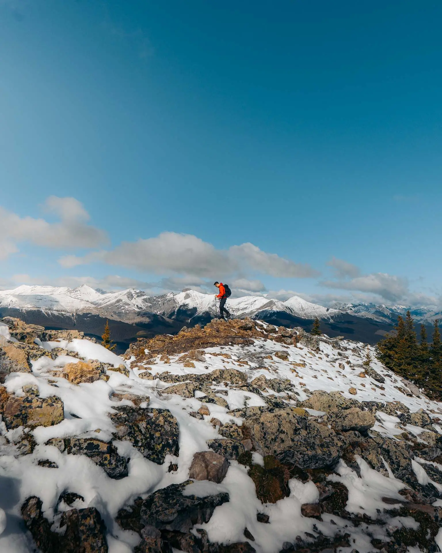
This is the part I really want to be honest about, because it's where our first attempt went sideways.
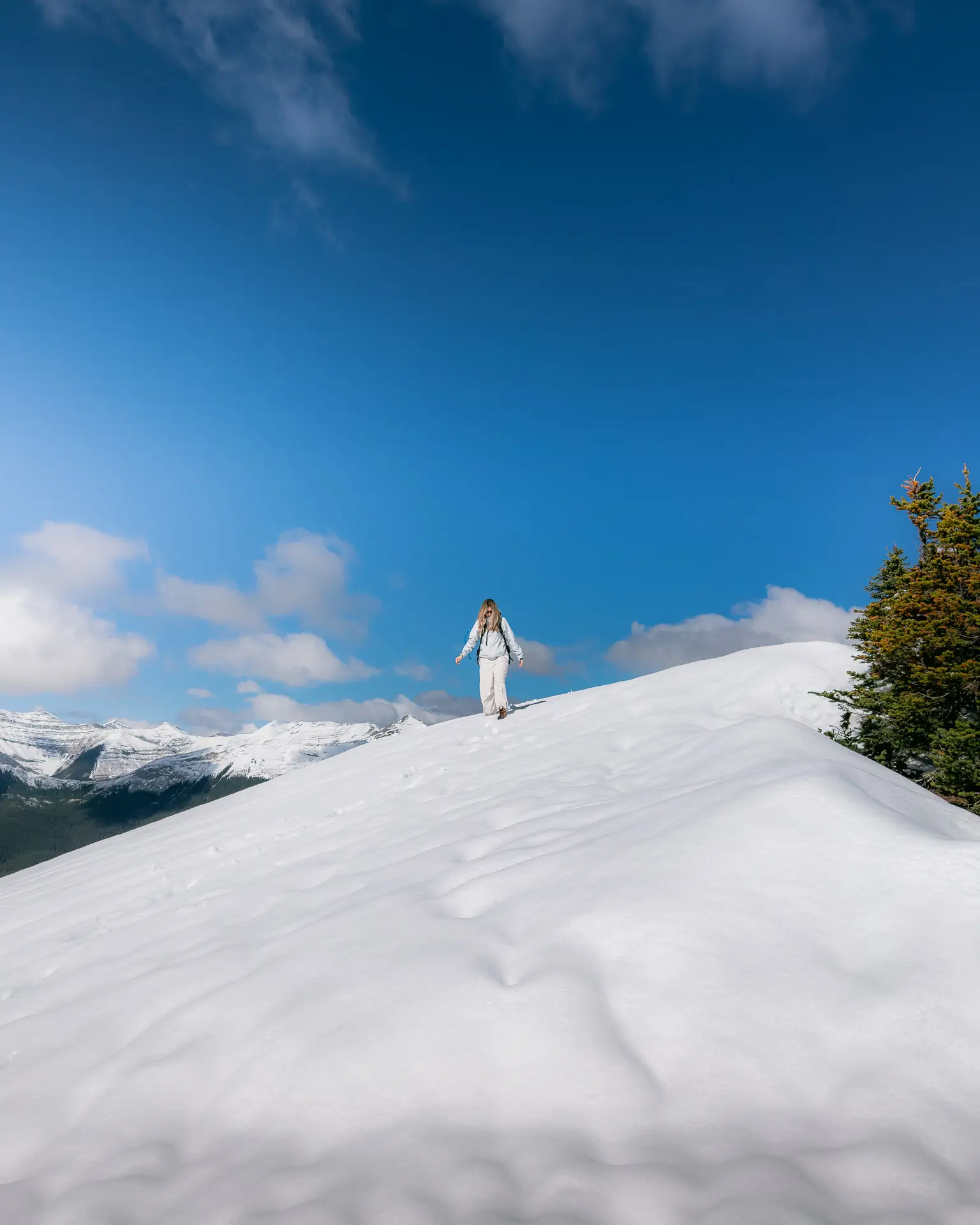
In spring, the lower forested section of the trail tends to dry out and melt well before the summit does. On our successful attempt, the bottom half was mostly dry, but there was still ankle-deep snow near the top. It genuinely felt like spring and winter in one hike. Our earlier attempt, just a couple weekends before, had too much snow higher up for it to be worth continuing.
So if you're planning a spring hike, two tips. Check that the Powderface Trail road has actually opened for the season (May 15), and look at recent trail reports before you drive out, since conditions up high can change week to week. A trail that's perfect at the bottom can still be snowy and slushy near the summit well into spring.
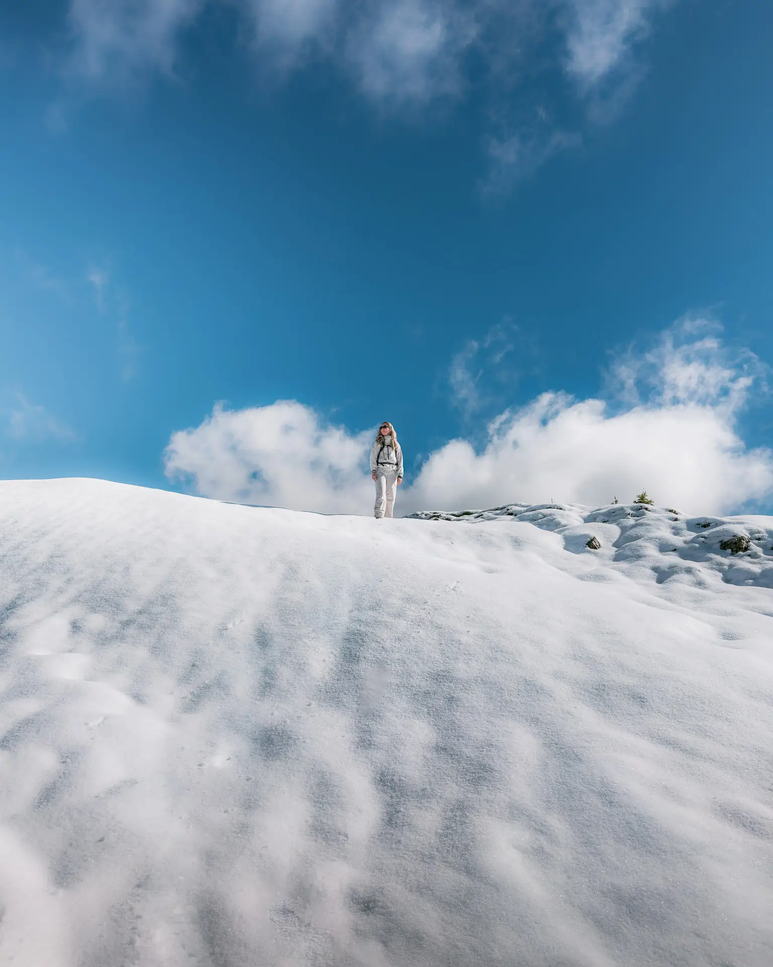
We didn't. On the day we made it up, we hiked with poles and no spikes, and the poles were plenty for the ankle-deep snow near the summit. That said, our first attempt a couple weekends earlier had enough snow up high that we turned around, so if you're going earlier in spring, or after a fresh dump, I'd throw microspikes in the pack as backup. They're light, and the snowy upper section is exactly where they'd earn their spot.
In summer and early fall, once the snow is gone, you won't need spikes at all. Poles are still nice for the steady climb and descent, but at that point they're a preference, not a necessity.
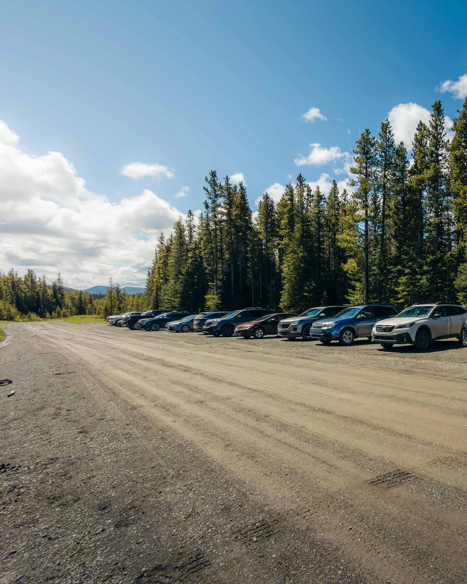
Parking is a roadside pullout on the west side of the Powderface Trail, right across from the signed trailhead. It's not a big formal lot, and it fills up on busy weekends, so arriving early helps with both parking and beating the crowds.
A Kananaskis Conservation Pass is required to park anywhere in Kananaskis Country, including here. You can buy a daily or an annual pass online, and you only need one per vehicle no matter how many people are in the car. If you hike in Kananaskis more than a handful of times a year, the annual pass pays for itself quickly.
One heads-up: there are no facilities at the trailhead, so use a washroom in Bragg Creek before you head out on the Powderface Trail.

Yes, and I think it's underrated precisely because it over-delivers. You get a true summit with 360-degree Rocky Mountain views, and you earn it with a moderate, relatively short climb rather than a long, punishing day. Add in fewer crowds than the more famous Kananaskis trails and a drive that's only about 1.5 hours from Calgary, and it's an easy one to recommend.
If you're after one of the best spring and summer hikes near Calgary, with big views, fewer people, and generally less snow than a lot of other Canadian Rockies hikes this time of year, I'd absolutely add this one to your list.
Jumpingpound Summit Trail is one of those hikes that quietly does everything right. It's close to the city, it's a manageable climb, and the reward at the top genuinely competes with hikes twice its length. The fact that it flies under the radar is honestly part of the charm.
If you go in spring, respect the timing. Wait for the road to open, check recent trail reports, and pack microspikes as backup even if you end up not needing them. Do that, and you'll get one of the best-value summit hikes in Kananaskis mostly to yourself.
If you make it up there, I'd love to hear how it went.

If you found this guide helpful, please consider sharing it with your friends and family on social media. Your support helps me create more content like this!
For more travel tips and destination guides, check out my related posts:
🇨🇦 Prairie View Trail Kananaskis: One of the Best Spring Hikes Near Calgary
🇨🇦 7 Best Places to See Fall Colours in Quebec: The Ultimate Guide
🇵🇹 10 Best Places to Visit in the Algarve: The Ultimate Guide
Remember to subscribe to my newsletter for the latest travel guides and exclusive tips. Make sure to follow my travel journey on Instagram and TikTok for daily travel highlights, and watch my adventure videos on YouTube for in-depth travel guides and stunning footage from around the world.
Thank you for reading, and happy travels! ✈️ 🤙🏼

© 2026 WithKaejon All Rights Reserved